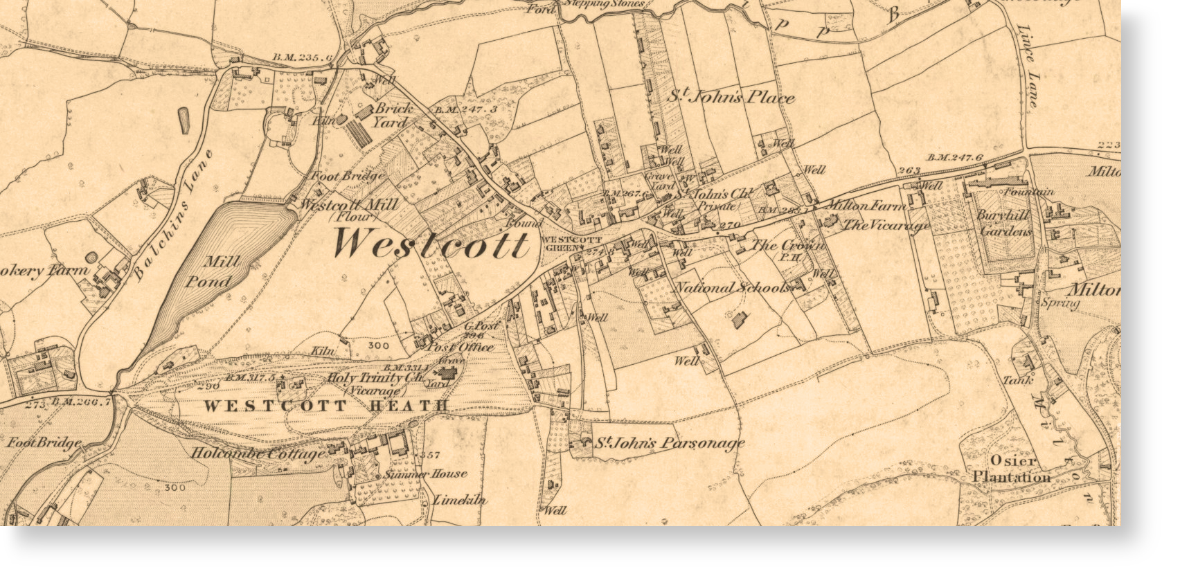
An extract from the 1873 OS 6 inch map
Westcott Local History Group (WLHG)
-
arranges group meetings with visiting speakers
-
initiates research into Westcott history
-
collects and makes available photographs, maps, census returns, parish registers etc. relating to Westcott
-
issues newsletters and reports
Members (Membership) have differing levels of involvement; some carry out research into topics with the intention of publishing the results while others are content to enjoy the bi-monthly meetings with speakers on topics relating to local history in general and Westcott in particular. Details of these meetings are published in the Village Magazine and Notice Board and advised to members by email, newsletters, and on this website (Events).
Westcott, situated on the A25, 1.5 miles west of Dorking, was mentioned in the Domesday Book and there is considerable evidence of earlier settlements in the area. The manorial records of the Manors of Westcott and Milton illustrate the history of the village until the 19th century, when its growth became closely linked to the prosperity of the Rookery and Bury Hill Estates. In 1852 the Parish of Westcott was formed (from the larger Parish of Dorking). In the middle of the 19th Century there were 175 dwellings and a population of 900. Today there are 850 households and the population is approximately 2,300.